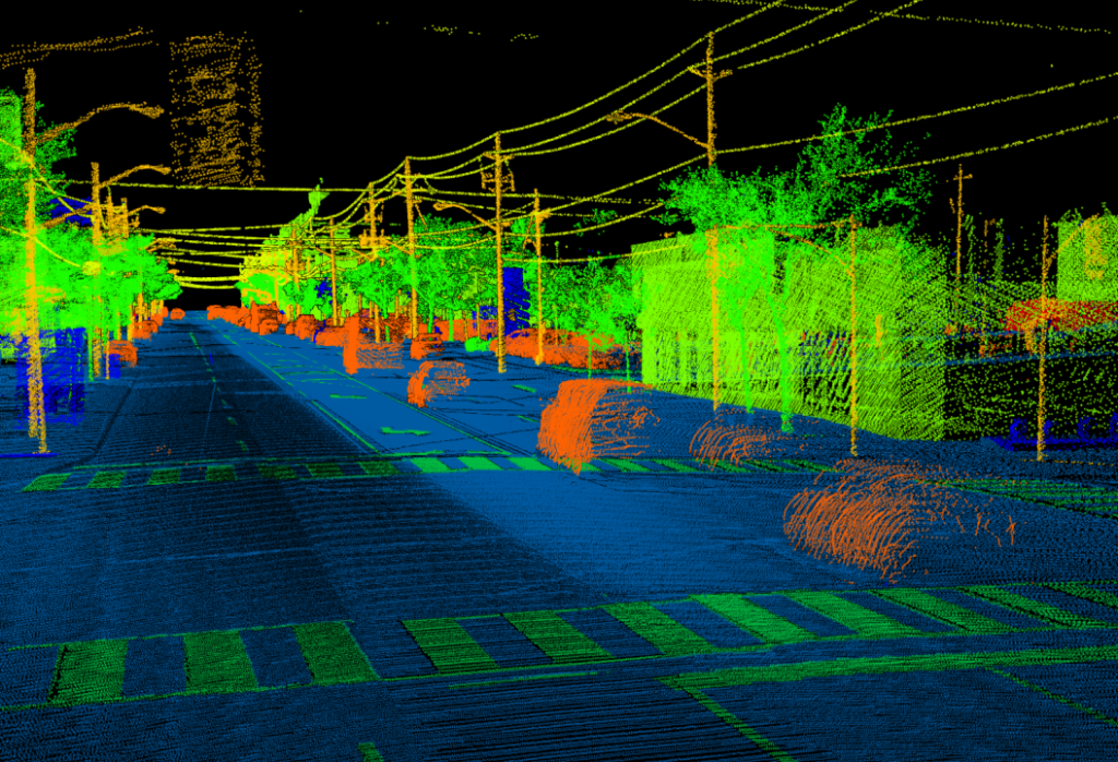
LiDAR (Light Detection and Ranging) mapping and classification uses laser light to create detailed 3D point clouds, which are then classified to identify and categorize different features like ground, vegetation, buildings, and infrastructure for various applications.
Anaxware Technologies
Anaxware is an ISO certified Geospatial & Engineering Service Company