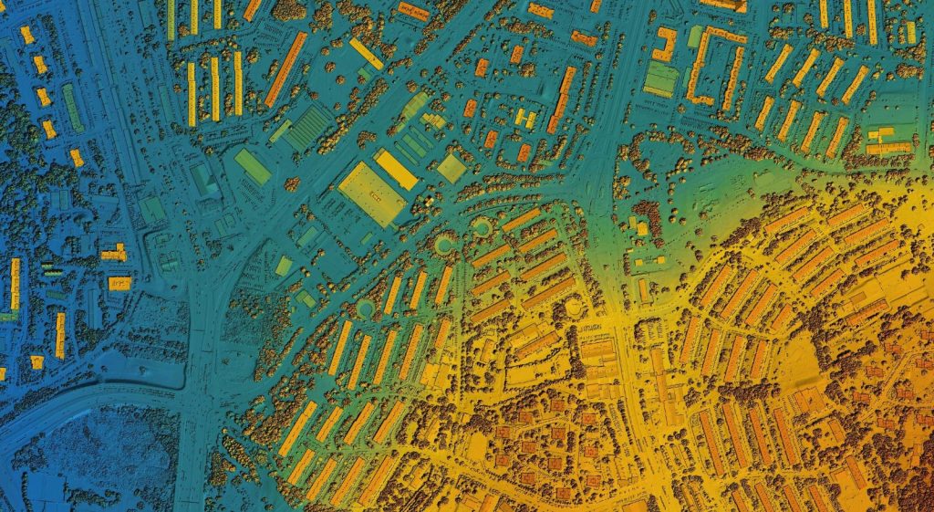
GIS mapping, or Geographic Information System mapping, uses technology to visualize, analyze, and manage spatial data, combining map data with other information to understand and make decisions about locations and geographic relationships.
Anaxware Technologies
Anaxware is an ISO certified Geospatial & Engineering Service Company